![]()
Punktmoln is the module for you who somehow handle large amounts of data and need a tool to rationally manage these in Geo.
Geo uses a very powerful database that indexes the points for fast data access, the point cloud module handles very large datasets and renders up to 8 million points on the screen.
Geo supports a number of common scan formats such as LAS, PTS, E57 and more. ESRI grid files that Lantmäteriet uses for the national altitude model can also be handled with Geo point clouds. Leica’s multistation MS60 is also supported in the program.
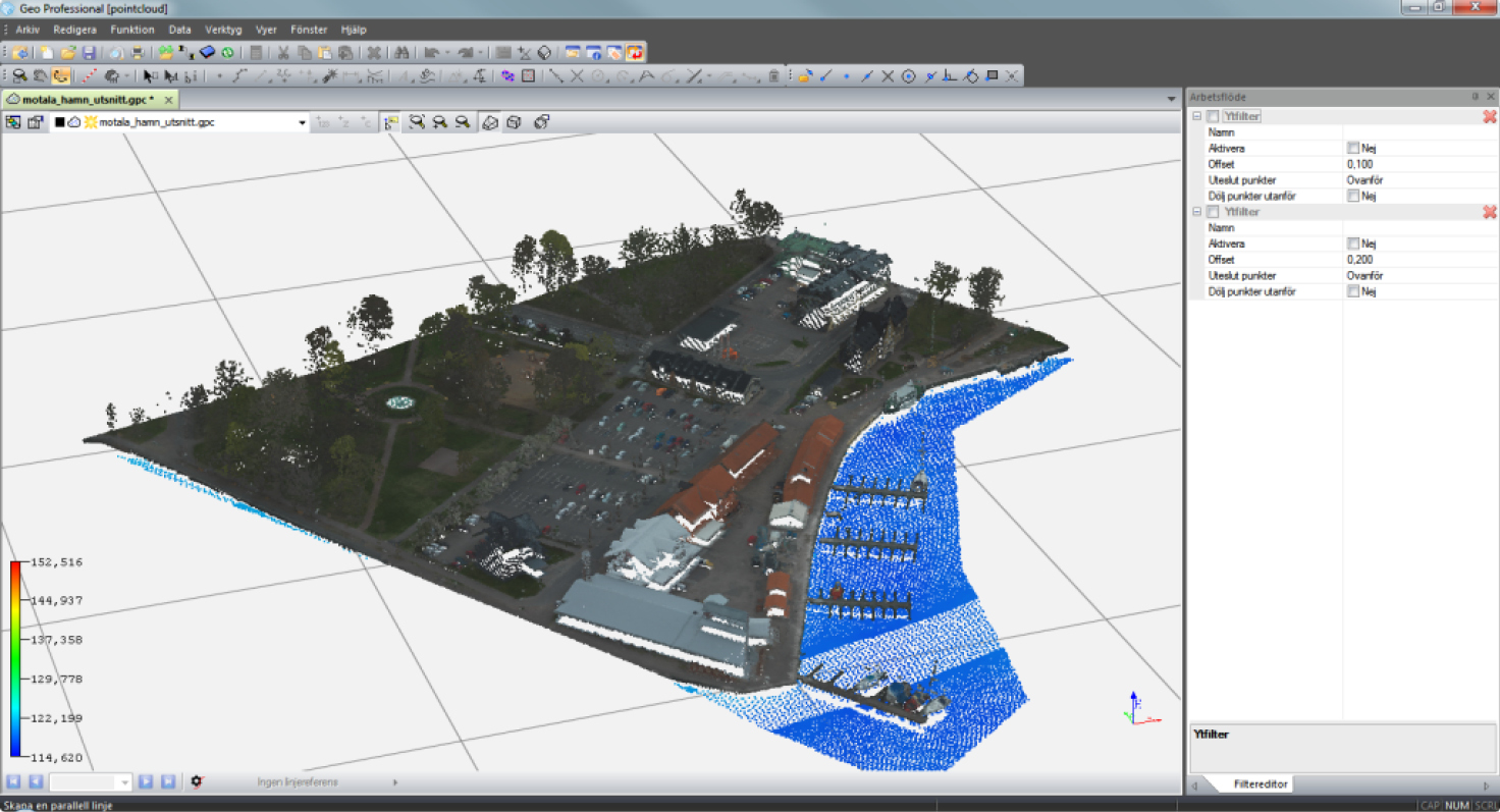
Geo point clouds have advanced filter functions to quickly and rationally clean out unwanted data such as trees, buildings and other noise.
Tools for finding the lowest or highest points in a grid to easily make a terrain model that can be saved and used in the usual way or used to filter out unwanted data. After filtering out irrelevant data, you can easily export your filtered point cloud to any of the following formats:
*.las, *.geo, * .pts, * .pci